
Google Maps Distributor Locator Tool
Challenge
This project autodetects the user's latitude and longitude, then compares it against a series of shapes overlaid on a Google Map. I started by drawing the custom shapes on a Google Maps, then used Google's Geometry API to check if the user's ZIP Code fell within a series of shapes/plotted polygons.
I would then hide all of the other "distributors" on the page, render a new map with the single custom shape, and reveal all of the relevant information to the user, based on their location.
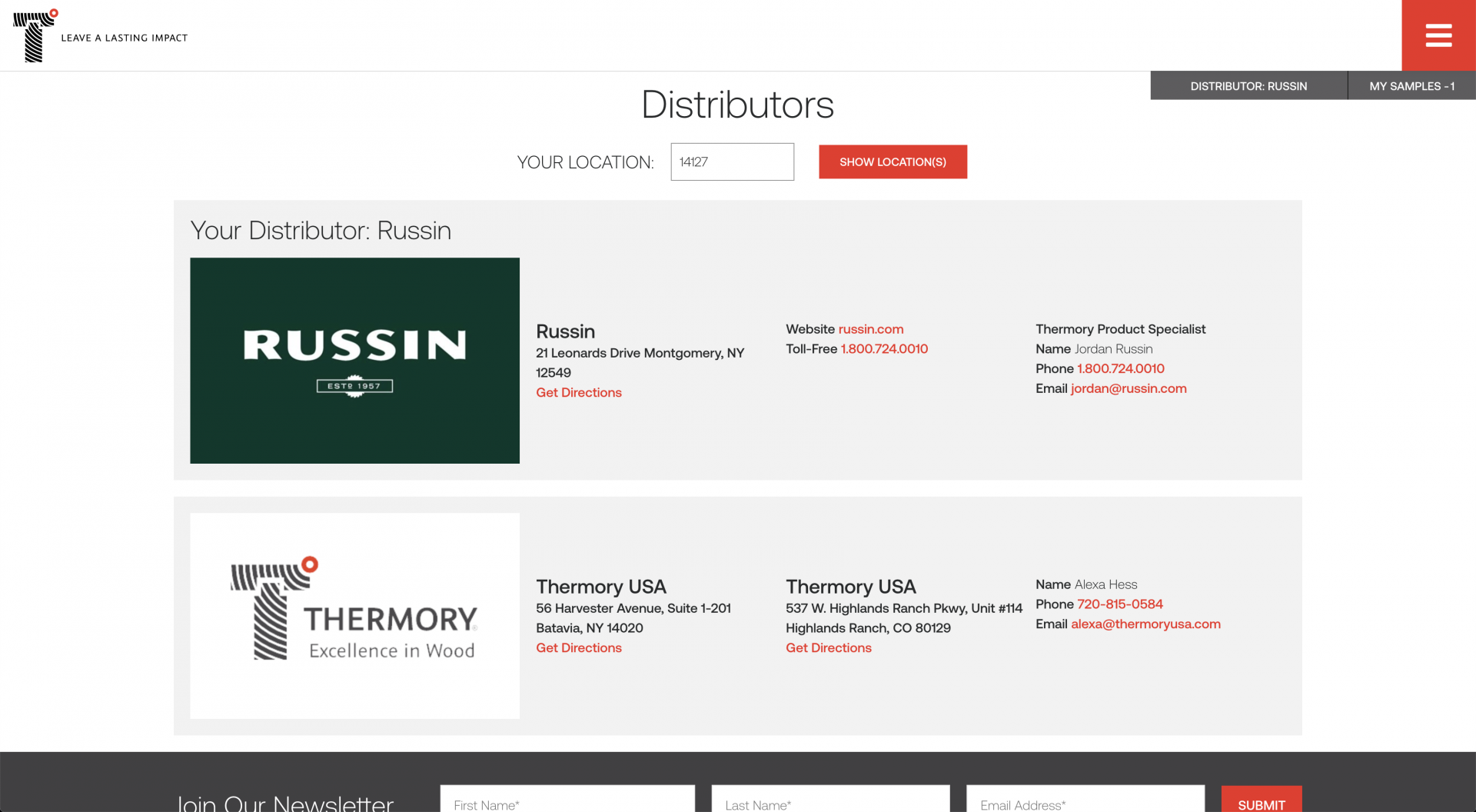
Functionality Screenshots
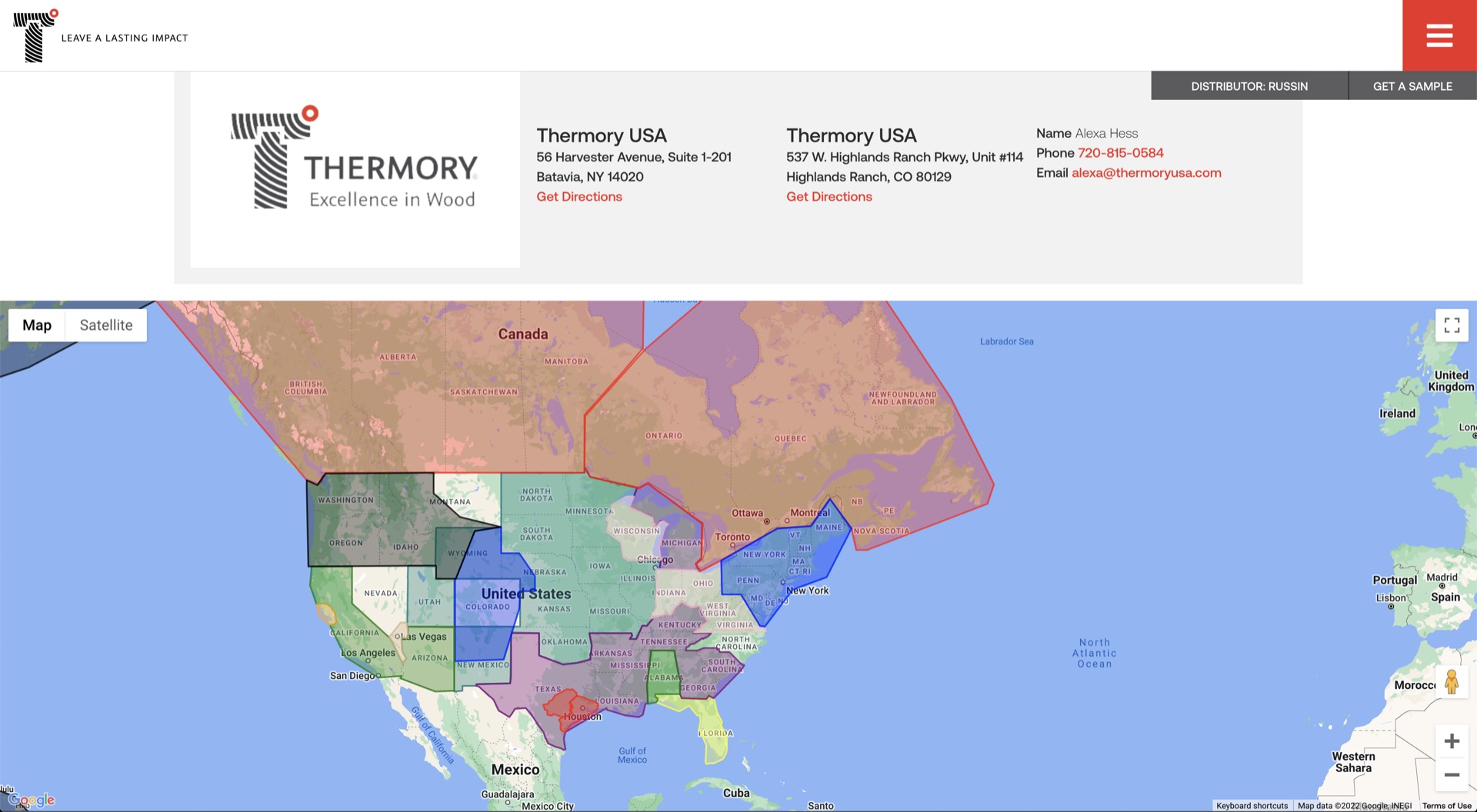
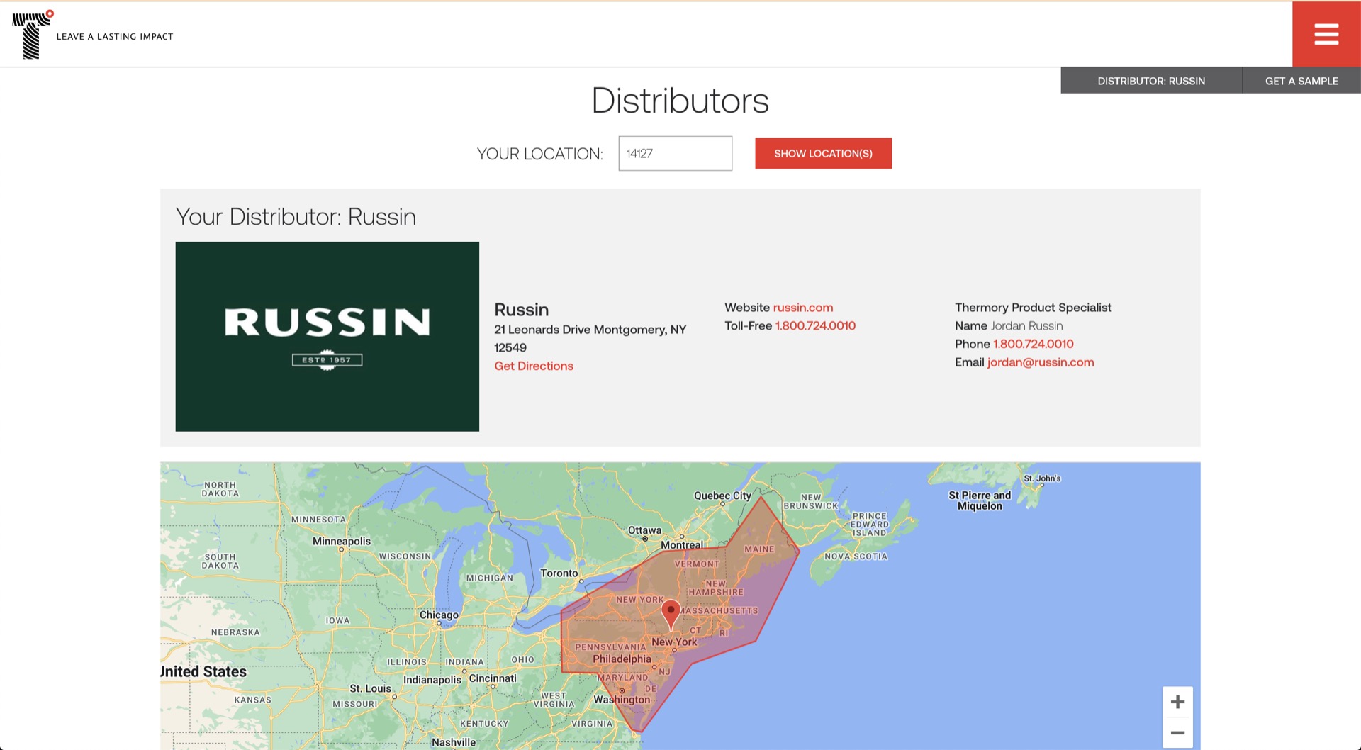
Technologies Used

Javascript
Form Submission, user geo-data storage/validation, error handling, state-management.
Google Maps Geometry API
Drawing custom polygons on the map, checking the user's ZIP Code against the area of the polygon.
Google Maps Geolocation API
Auto-detecting (or parsing from data enry) user's latitude and longitude.
HTML & CSS
Frontend Layout & Responsive Design